Back Piva (rijeka) BS Piva Catalan Piva (suba sa Bosniya ug Ersogobina) CEB Piva Czech Piva Danish Piva (Fluss) German Πίβα Greek Río Piva Spanish Piva (rivière) French Piva Croatian
This article includes a list of general references, but it lacks sufficient corresponding inline citations. (January 2024) |
| Piva | |
|---|---|
 | |
 | |
| Location | |
| Country | Montenegro, Bosnia and Herzegovina |
| Physical characteristics | |
| Mouth | |
• location | Drina |
• coordinates | 43°20′54″N 18°50′23″E / 43.3484°N 18.8396°E |
| Length | 35 km (22 mi) 120 km (75 mi) as part of the system |
| Basin size | 1,784 km2 (689 sq mi) [1] |
| Basin features | |
| Progression | Drina→ Sava→ Danube→ Black Sea |
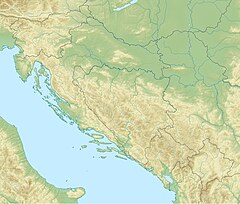
The Piva (Cyrillic: Пива, pronounced [pîʋa]) is a river in Montenegro and Bosnia and Herzegovina. The river runs through Montenegro for most of its course length, and in its last three kilometres marks the border between the two countries.
- ^ "Sava River Basin Analysis Report" (PDF). International Sava River Basin Commission. September 2009. p. 14. Archived from the original (PDF, 9.98 MB) on 2010-07-17.
© MMXXIII Rich X Search. We shall prevail. All rights reserved. Rich X Search
