Cornwall is the westernmost part of the South West Peninsula. Its coastline is characterised by steep cliffs and, to the south, several rias, including those at the mouths of the rivers Fal and Fowey. It includes the southernmost point on Great Britain, Lizard Point, and forms a large part of the Cornwall National Landscape. The national landscape also includes Bodmin Moor, an upland outcrop of the Cornubian batholith granite formation. The county contains many short rivers; the longest is the Tamar, which forms the border with Devon. (Full article...)
Penhallam is the site of a fortified manor house near Jacobstow in Cornwall, England. There was probably an earlier, 11th-century ringwork castle on the site, constructed by Tryold or his son, Richard fitz Turold in the years after the Norman invasion of 1066. Their descendants, in particular Andrew de Cardinham, created a substantial, sophisticated manor house at Penhallam between the 1180s and 1234, building a quadrangle of ranges facing onto an internal courtyard, surrounded by a moat and external buildings. The Cardinhams may have used the manor house for hunting expeditions in their nearby deer park. By the 14th century, the Cardinham male line had died out and the house was occupied by tenants. The surrounding manor was broken up and the house itself fell into decay and robbed for its stone. Archaeological investigations between 1968 and 1973 uncovered its foundations, unaltered since the medieval period, and the site is now managed by English Heritage and open to visitors. (Full article...)
Richard Lemon Lander (8 February 1804 – 6 February 1834) was a British explorer of western Africa. He and his brother John were the first Europeans to follow the course of the River Niger, and discover that it led to the Atlantic. (Full article...)
A Methodist chapel in Morvah, with an Anglican church behind. The Methodism of John Wesley proved to be very popular with the working classes in Cornwall in the 19th century, becoming the leading form of Christianity. The chapels became important social centres, with male voice choirs and other church-affiliated groups playing a central role in the social lives of working class Cornishmen.
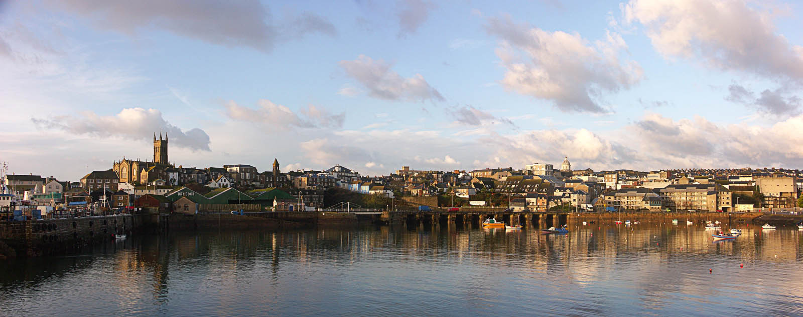
General images
The following are images from various Cornwall-related articles on Wikipedia.
Image 1"A Fish Sale on a Cornish Beach"l Stanhope Forbes; also showing traditional dress (from Culture of Cornwall)


.jpg)


_(14591082390).jpg)


_-_BL_Stowe_MS_944,_f_30v.jpg)


