Back خريطة التضاريس المرتفعة Arabic Relief (Kartografie) German Reliefo (kartografio) Esperanto Mapa en relieve Spanish نقشه برجسته Persian Carte en relief French Peta timbul ID Mapa plastyczna Polish Mapa em alto relevo Portuguese

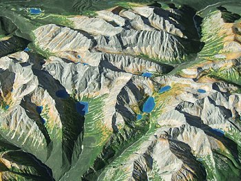
A raised-relief map, terrain model or embossed map is a three-dimensional representation, usually of terrain, materialized as a physical artifact. When representing terrain, the vertical dimension is usually exaggerated by a factor between five and ten; this facilitates the visual recognition of terrain features.
© MMXXIII Rich X Search. We shall prevail. All rights reserved. Rich X Search