This article includes a list of general references, but it lacks sufficient corresponding inline citations. (October 2021) |
Tanjung Tuan
Cape Rachado | |
|---|---|
 | |
| Coordinates: 2°24′N 101°52′E / 2.400°N 101.867°E | |
| Country | Malaysia |
| State | Malacca |
| District | Alor Gajah |
| Mukim | Kuala Linggi |

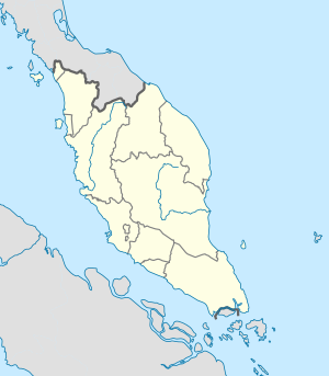
Tanjung Tuan (Lord's Cape, formerly known as Cape Rachado as named by the Portuguese, meaning 'broken cape') is an area in Alor Gajah District, Malacca, Malaysia. It is a semi-exclave of Malacca adjacent to Port Dickson,[1] Negeri Sembilan.
The cape is well known for the Cape Rachado Lighthouse facing the Strait of Malacca. The coastal area off the cape is famous as the site of the naval Battle of Cape Rachado in 1606, between the Dutch East India Company (VOC) and Portuguese fleets.[2] The battle was the opening act for the series of conflicts between the Dutch-Johor coalition and Portuguese Malacca that ultimately ended with the Portuguese surrender of the city and fort of Malacca to the VOC in 1641.
- ^ [1][permanent dead link] "Port Dickson Website"
- ^ A translation into English of the original Dutch account is found in P. Borschberg, ed., Journal, Memorial and Letters of Cornelis Matelieff de Jonge. Security, Diplomacy and Commerce in 17th-Century Southeast Asia Singapore: NUS Press, 2015. https://www.academia.edu/4302783.
© MMXXIII Rich X Search. We shall prevail. All rights reserved. Rich X Search


