Back تحليل شبكات النقل Arabic شیکردنەوەی تۆڕی گواستنەوە CKB Verkehrsnetz German Red de transporte Spanish Garraio-sare Basque آنالیز شبکهی حمل و نقل Persian Liikenneverkko Finnish Сообраќајна мрежа Macedonian Тээврийн сүлжээний шинжилгээ Mongolian Transportnetwerk Dutch
| Part of a series on | ||||
| Network science | ||||
|---|---|---|---|---|
| Network types | ||||
| Graphs | ||||
|
||||
| Models | ||||
|
||||
| ||||
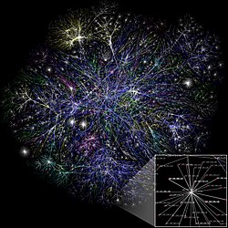
A transport network, or transportation network, is a network or graph in geographic space, describing an infrastructure that permits and constrains movement or flow.[1] Examples include but are not limited to road networks, railways, air routes, pipelines, aqueducts, and power lines. The digital representation of these networks, and the methods for their analysis, is a core part of spatial analysis, geographic information systems, public utilities, and transport engineering. Network analysis is an application of the theories and algorithms of graph theory and is a form of proximity analysis.
- ^ Barthelemy, Marc (2010). "Spatial Networks". Physics Reports. 499 (1–3): 1–101. arXiv:1010.0302. Bibcode:2011PhR...499....1B. doi:10.1016/j.physrep.2010.11.002. S2CID 4627021.
© MMXXIII Rich X Search. We shall prevail. All rights reserved. Rich X Search
