| Waterfall Sydney, New South Wales | |||||||||||||||
|---|---|---|---|---|---|---|---|---|---|---|---|---|---|---|---|
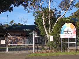
 Waterfall Bushfire Station | |||||||||||||||
 | |||||||||||||||
| Population | 522 (2021 census)[1] | ||||||||||||||
| Established | 1887 | ||||||||||||||
| Postcode(s) | 2233 | ||||||||||||||
| Elevation | 230 m (755 ft) | ||||||||||||||
| Location |
| ||||||||||||||
| LGA(s) | Sutherland Shire | ||||||||||||||
| State electorate(s) | Heathcote | ||||||||||||||
| Federal division(s) | Hughes | ||||||||||||||
| |||||||||||||||

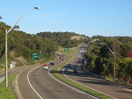
Waterfall is a small suburb in southern Sydney, in the state of New South Wales, Australia. It is 40 kilometres south of the Sydney central business district in the Sutherland Shire. It is the southernmost suburb of Sydney in the eastern corridor, on the Princes Highway, bordering Helensburgh.
- ^ %22%5Bhttps://abs.gov.au/census/find-census-data/quickstats/2021/SAL14200%20Australian%20Bureau%20of%20Statistics%5D
© MMXXIII Rich X Search. We shall prevail. All rights reserved. Rich X Search
