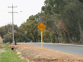
| Wattle Grove Perth, Western Australia | |||||||||||||||
|---|---|---|---|---|---|---|---|---|---|---|---|---|---|---|---|
 Crystal Brook Road, Wattle Grove | |||||||||||||||
 | |||||||||||||||
| Coordinates | 32°00′29″S 116°00′50″E / 32.008°S 116.014°E | ||||||||||||||
| Population | 6,547 (SAL 2021)[1] | ||||||||||||||
| Postcode(s) | 6107 | ||||||||||||||
| Location | 13 km (8 mi) E of Perth, Western Australia | ||||||||||||||
| LGA(s) | City of Kalamunda | ||||||||||||||
| State electorate(s) | |||||||||||||||
| Federal division(s) | Hasluck | ||||||||||||||
| |||||||||||||||
Wattle Grove is a suburb of Perth, Western Australia, located within the City of Kalamunda.
- ^ Australian Bureau of Statistics (28 June 2022). "Wattle Grove (WA) (suburb and locality)". Australian Census 2021 QuickStats. Retrieved 28 June 2022.
© MMXXIII Rich X Search. We shall prevail. All rights reserved. Rich X Search
