Back Ghaziabad Afrikaans غازي آباد Arabic جازى آباد ARZ Ghaziabad AST गाजियाबाद Bihari গাজিয়াবাদ Bengali/Bangla ঘাজিয়াবাদ BPY Ghaziabad Catalan Ghāziābād (lungsod) CEB Ghaziabád Czech
| Ghaziabad ग़ाज़ियाबाद | |||||
 Aperçu d'Indirapuram, à Ghaziabad. | |||||
| Administration | |||||
|---|---|---|---|---|---|
| Pays | |||||
| État ou territoire | Uttar Pradesh | ||||
| District | de Ghaziabad | ||||
| Index postal | 201 ... | ||||
| Fuseau horaire | IST (UTC+05:30) | ||||
| Indicatif | 91-120 | ||||
| Démographie | |||||
| Population | 1 729 000 hab. (données provisoires d'un recensement de 2011) | ||||
| Densité | 894 hab./km2 | ||||
| Géographie | |||||
| Coordonnées | 28° 40′ nord, 77° 25′ est | ||||
| Superficie | 193 330 ha = 1 933,3 km2 | ||||
| Localisation | |||||
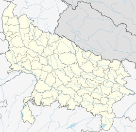
| Géolocalisation sur la carte : Inde
Géolocalisation sur la carte : Inde
Géolocalisation sur la carte : Uttar Pradesh
Géolocalisation sur la carte : Uttar Pradesh
| |||||
| Liens | |||||
| Site web | http://ghaziabad.nic.in/ | ||||
| modifier |
|||||
Ghaziabad (ग़ाज़ियाबाद en hindî) est une ville de l'État de l'Uttar Pradesh, en Inde.
© MMXXIII Rich X Search. We shall prevail. All rights reserved. Rich X Search


