Romorantin-Lanthenay

Romorantin-Lanthenay
La vieille ville et la Sauldre.
Blason de Romorantin-Lanthenay
Blason
Administration
Pays Drapeau de la France France
Région Centre-Val de Loire
Département Loir-et-Cher
(sous-préfecture)
Arrondissement Romorantin-Lanthenay
(chef-lieu)
Intercommunalité Communauté de communes du Romorantinais et du Monestois
(siège)
Maire
Mandat
Jeanny Lorgeoux (DVG)
2020-2026
Code postal 41200
Code commune 41194
Démographie
Gentilé Romorantinais[1]
Population
municipale
18 115 hab. (2021 en augmentation de 2,07 % par rapport à 2015)
Densité 400 hab./km2
Géographie
Coordonnées 47° 21′ 32″ nord, 1° 44′ 37″ est
Altitude 103 m
Min. 84 m
Max. 121 m
Superficie 45,31 km2
Type Petite ville
Unité urbaine Romorantin-Lanthenay
(ville isolée)
Aire d'attraction Romorantin-Lanthenay
(commune-centre)
Élections
Départementales Canton de Romorantin-Lanthenay
(bureau centralisateur)
Législatives Deuxième circonscription
Localisation
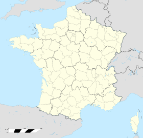
Géolocalisation sur la carte : France
Voir sur la carte topographique de France
Romorantin-Lanthenay
Géolocalisation sur la carte : France
Voir sur la carte administrative de France
Romorantin-Lanthenay
Géolocalisation sur la carte : Loir-et-Cher
Voir sur la carte topographique de Loir-et-Cher
Romorantin-Lanthenay
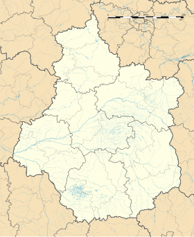
Géolocalisation sur la carte : Centre-Val de Loire
Voir sur la carte administrative du Centre-Val de Loire
Romorantin-Lanthenay
Liens
Site web romorantin.fr

Romorantin-Lanthenay est une commune française, située dans le département de Loir-et-Cher en région Centre-Val de Loire. Cette ville est par ailleurs capitale de la région naturelle de la Sologne.


© MMXXIII Rich X Search. We shall prevail. All rights reserved. Rich X Search