This article needs additional citations for verification. (June 2011) |
| Disputed island | |
|---|---|
 Lankiam Cay | |
| Other names | Panata Island (Philippine English) Pulo ng Panata (Filipino) đá An Nhơn (Vietnamese) 楊信沙洲 / 杨信沙洲 Yángxìn Shāzhōu (Chinese) |
| Geography | |
| Location | South China Sea |
| Coordinates | 10°43′N 114°32′E / 10.717°N 114.533°E |
| Archipelago | Spratly Islands |
| Administration | |
| Region | IV-B - MIMAROPA |
| Province | Palawan |
| Municipality | Kalayaan |
| Claimed by | |
| Additional information | |
 | |
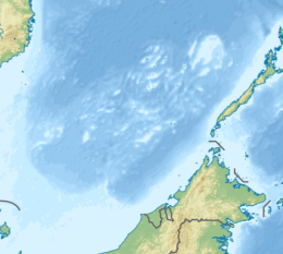
Lankiam Cay, also known as Panata Island (Filipino: Pulo ng Panata, lit. 'Island of Oath'; Mandarin Chinese: 楊信沙洲/杨信沙洲; pinyin: Yángxìn Shāzhōu; Vietnamese: đá An Nhơn), is the smallest of the naturally occurring Spratly Islands. It has an area of 0.44 hectares (1.1 acres) (4,400 sq. m), and is located about 7 nautical miles (13 km; 8.1 mi) east-northeast of Philippine-occupied Loaita (Kota) Island,[1] just west of the north of Dangerous Ground.[2]
The island is administered by the Philippines as part of Kalayaan, Palawan, and is the eighth largest of the Philippine-occupied islands. It is also claimed by the People's Republic of China, the Republic of China (Taiwan), and Vietnam.
- ^ Sailing Directions (Enroute), Pub. 161: South China Sea and the Gulf of Thailand (PDF). Sailing Directions. United States National Geospatial-Intelligence Agency. 2017. p. 13.
- ^ NGA Chart 93044 shows the area NW of Dangerous Ground.
© MMXXIII Rich X Search. We shall prevail. All rights reserved. Rich X Search

