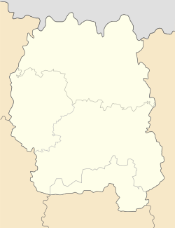
Back مالين (أوكرانيا) Arabic مالین AZB Малын Bashkir Малын (Жытомірская вобласць) Byelorussian Малын BE-X-OLD Малин (Житомиран область) CE Malyn (kapital sa rayon sa Okraniya) CEB Malın CRH Malyn Czech Malyn Danish
Malyn
Ма́лин | |
|---|---|
 Railway station | |
| Coordinates: 50°46′8″N 29°16′12″E / 50.76889°N 29.27000°E | |
| Country | |
| Oblast | |
| Founded | 891 |
| Area | |
| • Total | 60.92 km2 (23.52 sq mi) |
| Population (2022) | |
| • Total | 25,172 |
| • Density | 444.5/km2 (1,151/sq mi) |
| Postal code | 11600 |
| Area code | +380-4133 |
| Website | Malyn governmental site |
Malyn (Ukrainian: Ма́лин, romanized: Mályn) (sometimes spelled Malin) is a city in Zhytomyr Oblast (province) of Ukraine located about 100 kilometres (62 mi) northwest of Kyiv. It served as the administrative center of Malyn Raion, now located in Korosten Raion. Population: 25,172 (2022 estimate).[1]
Located in a wooded area of Polesia (literally woodland), the city is known for its paper factory and a sheet of paper is depicted on the city's coat of arms. The city is located on Irsha river which is a left tributary of Teteriv.
Through the city runs an important railroad Kyiv – Korosten and a motor vehicle highway Kyiv-Kovel-Warsaw.
The town hosts a seismic monitoring station (designated PS-45) belonging to an international network of nuclear test monitoring stations intended to verify the Comprehensive Test Ban Treaty (CTBT) treaty.
- ^ Чисельність наявного населення України на 1 січня 2022 [Number of Present Population of Ukraine, as of January 1, 2022] (PDF) (in Ukrainian and English). Kyiv: State Statistics Service of Ukraine. Archived (PDF) from the original on 4 July 2022.
© MMXXIII Rich X Search. We shall prevail. All rights reserved. Rich X Search


