Back Estmere ANG Llaguna del Vístula AST Калінінградскі заліў Byelorussian Калінінградзкая затока BE-X-OLD Висленски залив Bulgarian Llacuna del Vístula Catalan Vislinskiy Zaliv CEB Viselský záliv Czech Калининград кӳлмекĕ CV Wisłabugten Danish
| Vistula Lagoon | |
|---|---|
| Zalew Wiślany (Polish) | |
 Landsat photo of the Vistula Lagoon | |
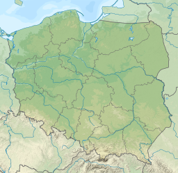
| Location | Poland, Russia |
| Coordinates | 54°27′N 19°45′E / 54.450°N 19.750°E |
| Type | Lagoon |
| Etymology | Vistula River |
| Primary inflows | Bauda, Elbląg, Nogat, Pasłęka, Szkarpawa, Pregolya, Prokhladnaya, Wisła Królewiecka |
| Max. length | 90.7 km (56.4 mi) |
| Max. width | 13 km (8.1 mi) |
| Surface area | 838 km2 (324 sq mi) |
| Average depth | 2.7 m (8 ft 10 in) |
| Salinity | 3‰ |
| Settlements | Tolkmicko, Frombork, Krynica Morska, Baltiysk, Primorsk |
The Vistula Lagoon[1] is a brackish water lagoon on the Baltic Sea roughly 56 miles (90 km) long, 6 to 15 miles (10 to 19 km) wide, and up to 17 feet (5 m) deep, separated from the Gdańsk Bay by the Vistula Spit.
- ^ (Polish: Zalew Wiślany; Russian: Калининградский залив, romanized: Kaliningradskiy zaliv, lit. 'Kaliningrad bay'; German: Frisches Haff, lit. 'fresh lagoon'; Lithuanian: Aistmarės)
© MMXXIII Rich X Search. We shall prevail. All rights reserved. Rich X Search


