Back حديقة جبال غوادالوبي الوطنية Arabic Taman Nasional Pagunungan Guadalupé BAN Parc Nacional de les Muntanyes de Guadalupe Catalan Guadalupe Mountains National Park CEB Národní park Guadalupe Mountains Czech Guadalupe Mountains National Park Danish Guadalupe-Mountains-Nationalpark German Parque nacional de las Montañas de Guadalupe Spanish پارک ملی کوههای گوادالوپه Persian Guadalupe Mountainsin kansallispuisto Finnish
| Guadalupe Mountains National Park | |
|---|---|
 Guadalupe Peak, the highest point in Texas, as seen from Hunter Peak | |
| Location | Culberson County and Hudspeth County, Texas, United States |
| Nearest city | Dell City, Texas |
| Coordinates | 31°55′N 104°52′W / 31.917°N 104.867°W |
| Area | 86,367 acres (349.51 km2)[1] |
| Established | September 30, 1972 |
| Visitors | 172,347 (in 2018)[2] |
| Governing body | National Park Service |
| Website | Guadalupe Mountains National Park |
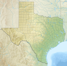
Guadalupe Mountains National Park is an American national park in the Guadalupe Mountains, east of El Paso, Texas. The mountain range includes Guadalupe Peak, the highest point in Texas at 8,751 feet (2,667 m), and El Capitan used as a landmark by travelers on the route later followed by the Butterfield Overland Mail stagecoach line. The ruins of a stagecoach station stand near the Pine Springs visitor center. The restored Frijole Ranch contains a small museum of local history and is the trailhead for Smith Spring. The park covers 86,367 acres (134.9 sq mi; 349.5 km2)[1] in the same mountain range as Carlsbad Caverns National Park, about 25 miles (40 km) to the north in New Mexico. The Guadalupe Peak Trail winds through pinyon pine and Douglas-fir forests as it ascends over 3,000 feet (910 m) to the summit of Guadalupe Peak, with views of El Capitan and the Chihuahuan Desert.
The McKittrick Canyon trail leads to a stone cabin built in the early 1930s as the vacation home of Wallace Pratt, a petroleum geologist who donated the land. Dog Canyon, on the northern park boundary at the Texas-New Mexico State line, is accessed via Carlsbad, New Mexico or Dell City, Texas. Camping is available at the Pine Springs campground and at Dog Canyon. A public corral for livestock is available by reservation. The park observes Mountain Time.
The Gypsum sand dunes lie on the west side of the park near Dell City.[3] A rough four-wheel drive road leads to the Williams Ranch.[4]
- ^ a b "Listing of acreage – December 31, 2011" (XLSX). Land Resource Division, National Park Service. Retrieved 2012-03-07. (National Park Service Acreage Reports)
- ^ "NPS Annual Recreation Visits Report". National Park Service. Retrieved 2019-03-07.
- ^ "Salt Basin Dunes". nps.gov. National Park Service. August 13, 2014. Retrieved July 4, 2018.
- ^ "Guadalupe Mountains National Park - Williams Ranch".nps.gov. National Park Service. March 31, 2012. Retrieved July 4, 2018.
© MMXXIII Rich X Search. We shall prevail. All rights reserved. Rich X Search

